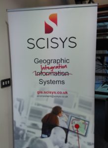
Thanks to SCISYS, our host for the day
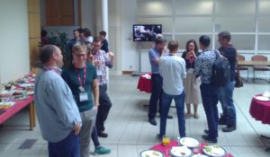
On a sunny day last week I took a trip to Chippenham, the least south-west part of the area covers by the UK South West QGIS user group! It had been a while since I’ve been to the user group and it was great to be back. There was a great turn out, and we had a wide range of attendees, which is one of the things I really like about the QGIS User group meetings – we have everyone from those quite new to QGIS, to system admins and data managers from Local Authorities, to those who use QGIS everyday in their jobs, and some of the key developers as well.
We had a wide range of talks – everything from talking to our maps (Dave Barter, NautoGuide, inspired by Blade Runner), to QGIS Server & GeoNode (Pascal Coulon, SCISYS) and Layer Definition Files (Mark Percival, Rugby Borough Council). There were lots of hints and tips, and it showed me that there is always something we can learn from one-another.
 We also had a longer discussion on QGIS Enterprise Roll out (led by Paul Wittle, Dorset County Council) which included some really interesting points for me on the differences in terminology between MapInfo users and QGIS users (QGIS uses fairly similar terminology to ArcGIS, but it is quite different to MapInfo). One other difference that I had not realised is that in MapInfo TAB files, you can store multiple types of geometry in one file (e.g. lines and polygons) where as in ESRI Shape files, you can only store one type of geometry per file (i.e. to store lines and polygons, you would need two separate shape files). Ant Scott (Astun Technology) gave us a great overview of GeoPackage, which might ultimately replace the ubiquitous shape file – watch this space!
Saber Razmjooei (Lutra Consulting) gave a great presentation showing how the QGIS project spends its money and encouraged us to explore different ways of supporting the project. This was really useful for an upcoming article I am writing (!) and there are four main ways of supporting:
1. Financial contributions
2. Reporting bugs
3. Developing code
4. Developing documentation
All of these are valuable, with often cold hard cash being the easiest and most effective way of showing your support.
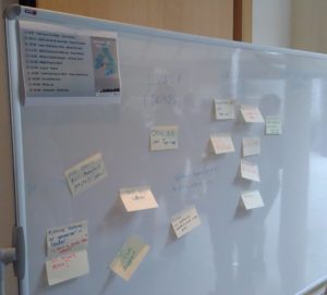
The meeting finished with an unconference session, where we covered everything from LLPG plugins, docker, shapefile vs geopackage, 3D in QGIS, and a whole range of other topics.
It was a great day and I would recommend them to anyone in the south west with an interested in QGIS. I’m looking forward to the next one, where I might be (subject to availability!) be giving a short session on how to contribute documentation to the QGIS project.
If you would like a chat about getting more from your GIS (QGIS or other packages!), or GIS Training for small groups, please do give Nick a call on 01209 808910 or email him at nick@geospatialtrainingsolutions.co.uk.