Our Professional Development Record (PDR) hours—CPD in the UK—are a key part of the surveying and geospatial professions. Previously PDR would have involved a mixture of in-person training, in-person conferences and self-study training materials. With the Covid-19 restrictions on meeting other people face-to-face, meetings are no longer possible, at least in the short term. Online video conferencing can substitute for some in-person events, and many PDR requirements are being relaxed to allow completely online PDR hours. So far, video conferencing has worked very well for training sessions and conferences, but I don’t think it will completely replace face-to-face meetings for a long time yet.
PDR requirements vary between industry and country, but all have some required training element, which would often be completed by attending in-person courses. This now all needs to be done online, at least in the short- to medium-term, and some accreditation providers have had to update their policies to allow this to be completed only online.
In the UK, the Royal Institute of Chartered Surveyors (RICS) and the Chartered Institution of Water and Environmental Management (CIWEM) have one of the more formalized and strict PDR requirements. Both groups have moved all of their PDR courses online.
In the U.S., the GIS Certification Institute is completing its Technical Knowledge Exam online, and URISA (Urban and Regional Information Systems Association, one of the leading GIS professional bodies) has moved one of its in-person leadership academies online. In general, these events
have gone very well, but the online medium poses unique challenges of encouraging social interaction in an online space.
Certification for your PDR is also a tricky element depending on what area you are working in. Some of the certification elements can easily be completed online, using multiple choice answers or written responses to questions. Some of the more practical elements, like showing that you know how to service an RTK GPS unit, are tricky to examine online. I see a future where some of this might be done over live video calls, allowing the person being evaluated to demonstrate their skills to an assessor.
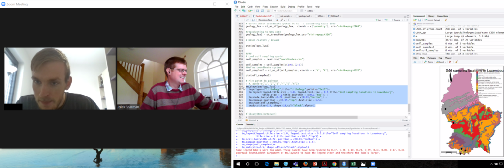
I run a number of small (10 to 20 attendees) in-person training courses in GIS and spatial analysis. All of these have had to move online, posing a range of different challenges. We all have access to video conference tools, and I think it is reasonable to say that some are better than others.
For most of my training courses I have used Zoom, which has worked very well with groups of up to 20 or so. My courses are a mixture of presentations (to the whole group) and then self-led practical workbooks, with the students receiving one-on-one support from me and a teaching assistant. I used the ‘Breakout Rooms’ facility within Zoom to allocate every student to their own room, and I could visit them and see how they were getting on, and they could share their screen if they were having any problems with their work.
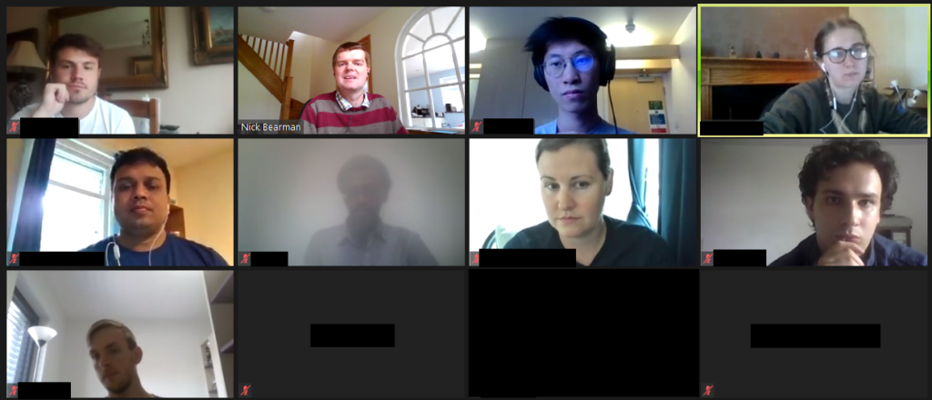
This worked well, but we did miss out on the social aspect of the session – discussions over lunch, and students helping each other during the course. This is something that concerns many trainers and attendees alike, and I hope to see better solutions come along over the next few months.
I made use of the various security features in Zoom (particularly the Waiting Room) so we had no issues of Zoom bombing, where unauthorized viewers gate-crash the meeting and disrupt events. Moving courses online has allowed many more people to take part, particularly those who would otherwise be unable to travel for whatever reason. I have run several courses where participants have said it is great that the course is online, as otherwise they would be unable to take part, due to childcare requirements.
This increase in numbers has also been seen in bigger conferences and MOOCs, with a big uptick in numbers. For example, the very popular ESRI
Cartography MOOC (Massive Open Online Course) reached more people than last year (35,772 participants in the latest offering) and has also had a 31 percent higher completion rate. Some smaller GIS conferences that would usually run in person have also received an up tick in numbers from moving online, including FOSS4G UK 2020, which went from typically 100 attendees to 400, GISRUK 2020, which went from typically 150 to 300 and QGIS North America 2020, which went from typically 50 or so to 200.
Nearly all of these conferences are also now available as recorded videos online, providing a great resource for future learning. It is great to see these increases in numbers with more people learning what GIS can do and being able to apply it in their own areas of work.
While the move to online has many advantages, I don’t believe it will entirely replace in-person training and conferences. The social interaction element of online conferences has so far seemed the hardest to replicate online.
There are some very interesting platforms to encourage networking, but I’ve not yet seen any that work really well. I can see everything staying online until the end of 2020, but beyond that I see a hybrid model going forward, where there will be substantially more online events than before, but there will still be some in-person events.
Whether we can manage to run great hybrid events with links between the group physically in the room and the group online remains to be seen.
PDR Requirements in the U.S.
Licensure for land surveying varies from state to state, but there are more similarities than differences. Typically, licensing is handled by a state board of professional licensure, often the same board that oversees engineering licenses.
The requirements for licensure by state are similarly defined in the laws, codes, and statues for each. The requirements are typically a combination of experience, education, and examinations. Most require passing one or more standardized set of tests from the National Council of Examiners for Engineering and Surveying (NCEES), a non-for-profit organization dedicated to advancing professional licensure for engineers and surveyors.
Most states have adopted continuing education requirements and often the reporting of one’s hours is up to the licensee but is subject to an audit. Sometimes the requirements are stated as “units” and other times as hours, and the annual requirements are typically about 15 hours per year.
The resources for education credits or hours are typically met from educational institutions, surveying association/society conferences and seminars, and commercial education credit firms. There are a number of nationwide firms offering these, like PDH Academy and GeoLearn, some presented locally and others online.
Since the beginning of the pandemic, there has been a sharp increase in surveyors tapping online resources, and in turn, there has been a rise in online resources. Some states surveying associations, like West Virginia, have rapidly increased online course offerings.
For GIS professionals, the GISP certification, via the GIS Certification Institute (gisci.org), is broadly viewed as the standard. While it is not a license, like those required by states for surveying and engineering, the GISP can be a job application or contract requirement like other professional certifications. This is similar to the Certified Survey Technician, hydrography surveyor, and floodplain surveyor programs of the National Society of Professional Surveyors.
The GISP recertification requirements are a points system, based on a combination on education, contributions to the profession, and work experience. GIS is, by nature, very digital, and so is GIS education. Many resources for online education and collaboration were well established even before the pandemic began.
Originally written for xyHt and posted at https://www.xyht.com/education/pdr-and-the-pandemic/.