Written for the South West Centre of Excellence in Satellite Applications and posted at
https://sa.catapult.org.uk/south-west/uncategorized/blog-the-power-of-geospatial-data/ .
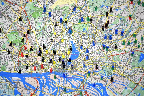
We use geospatial data every day in our lives, and our work lives are no exception. Any delivery company will use geospatial data to work out which order to deliver packages in, emergency services use a specialised type of sat nav to get to their callouts and many large companies use GPS to track their assets, whether that is machinery, vehicles, or possibly even their staff.
When we are talking about ‘SpaceTech’ we may not immediately think about geospatial, but GPS tracking is a key element of space technology, and fundamental to many geospatial operations. Space technology includes use of any kind of satellite data, 5G, GPS, radar, earth observation or tracking, many of which are also geospatial or GIS (geographical information systems) technologies.

One big benefit of geospatial to business is the ability to plan routes. Geospatial technology allows us to have a series of drop-off or calls, and then plan the most efficient route. There is even potential to take into account traffic conditions, avoid busy locations during rush hour, avoid schools around drop off and pick up times and arrange to have a break for lunch at a certain time and/or location. This can all be done beforehand in the office, or can be updated in real time to reflect new orders coming in or changing traffic conditions. Joining up with other services allow you to send text messages to your customers updating them with their deliveries progress. There are many delivery scenarios this could be applied to, but it also useful for planning domiciliary care visits, multiple meetings and a variety of other applications.
Another way we can leverage geospatial technologies is working with customer data. If we have our customers residential postal addresses, we can derive from this some generic information about each customer (e.g. income bracket, family status, interests, etc.) using a process called geodemographics. We can then use this to work out how well your products sell to certain groups, and enable you to target the same groups in the future. This will tell you a lot about who your current customers are, and help you plan strategically about who you want your customers to be in the future.

Thanks to Mosaic (www.mosaicmarketing.co.uk/mosaic-profiling.aspx) for use of this image.
Geospatial technologies also allow us to do a much wider range of analysis with customer and/or transaction data than ever before. This can be in terms of customer analysis and geodemographics, or in terms of which store(s) customers use, and whether certain products sell more or less in certain areas. This could then be used to target certain stores (and customers) with promotions, marketing or other activities.
GIS is an incredibly powerful tool, and using it in combination with GPS opens out a wide range of applications and tools for business to increase efficiency in their operations, and target their customers more effectively.
If you would like to learn more about GIS or find out what GIS could do for your business, give Nick a call on 01209 808910 or email him at nick@geospatialtrainingsolutions.co.uk.